Climate Week Zurich 2026
We’re proud to join Climate Week Zurich as a Founding and Contributing Partner!

Drone mapping and nature data management
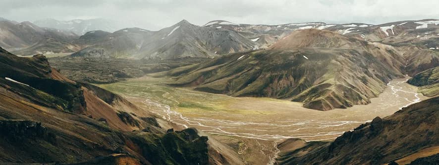
Svarmi turns drone and satellite data into decisions on the ground. Rooted in Iceland, the company learned its craft mapping volcanoes, power grids and rugged landscapes in some of Europe's toughest flying conditions.
At its core is DATACT, a geospatial platform that brings drone imagery, satellite data, 3D models, geoservices such as data layers and field information together in one place. Engineers, construction firms, utilities and environmental experts can view, measure and share site data without being geospatial specialists. It allows the creation of public channels to showcase a project.
Nature data has been part of Svarmi from the start. Carbon project developers such as Yggdrasill Carbon use DATACT to monitor afforestation, peatland restoration and other nature-based projects over time. This builds the repeatable, verifiable record that carbon dMRV depends on. Svarmi also helps companies turn earth observation data into nature-related risk assessments and reporting under frameworks such as TNFD and ESRS.
Svarmi's newest offering is a fully autonomous drone-in-a-box service. A drone based in a weatherproof dock on site flies on schedule or on demand, including beyond visual line of sight. Every mission uploads straight to DATACT, and Svarmi handles all the licensing.
We’re proud to join Climate Week Zurich as a Founding and Contributing Partner!
We’re thrilled to announce the launch of Terra Impact Ventures – a company of entrepreneurs and impact investors dedicated to creating meaningful, sustainable change for our planet. We empower ambitious startups to reach their full potential.